Portfolio · Unreal Engine 5.8 · 2026
Sundmark World Builder
A procedural pipeline that turns a written design brief into a playable 8 × 8 km Nordic post-apocalyptic region in Unreal Engine, and a test facility where every gameplay system of the game can be tried in its own room.
What I did
Design, direction and review
I set the vision for the game (Fallout-style exploration and towns, Kenshi-style NPC life, people and vehicles on the roads) and designed the world it plays in: the regions, the towns and their roles, the road hierarchy, the catastrophe story and the look I was after.
The code was written by AI coding assistants working from my briefs, in many short iterations. My job was to decide what to build, judge every rendered result against the target, play it, reject what looked fake and set the rules the pipeline must follow, for example that country roads have no kerbs and every road ends on a road of the same or a higher class.
Every number on this page was measured in the engine. Where something is not done yet, it says so under Status.
- World design documents: regions, towns, catastrophe, quality review
- Rules for terrain, water, roads and bridges the generator checks
- Review of every build from rendered shots and play
- Planning: a demo-map plan that puts gameplay first
Case study 1
From a design brief to a playable region
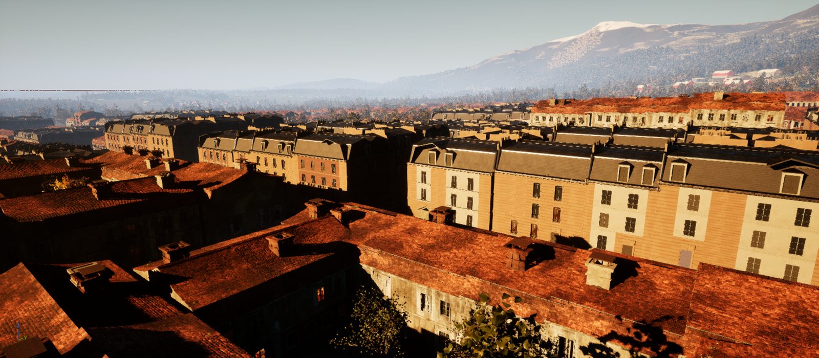
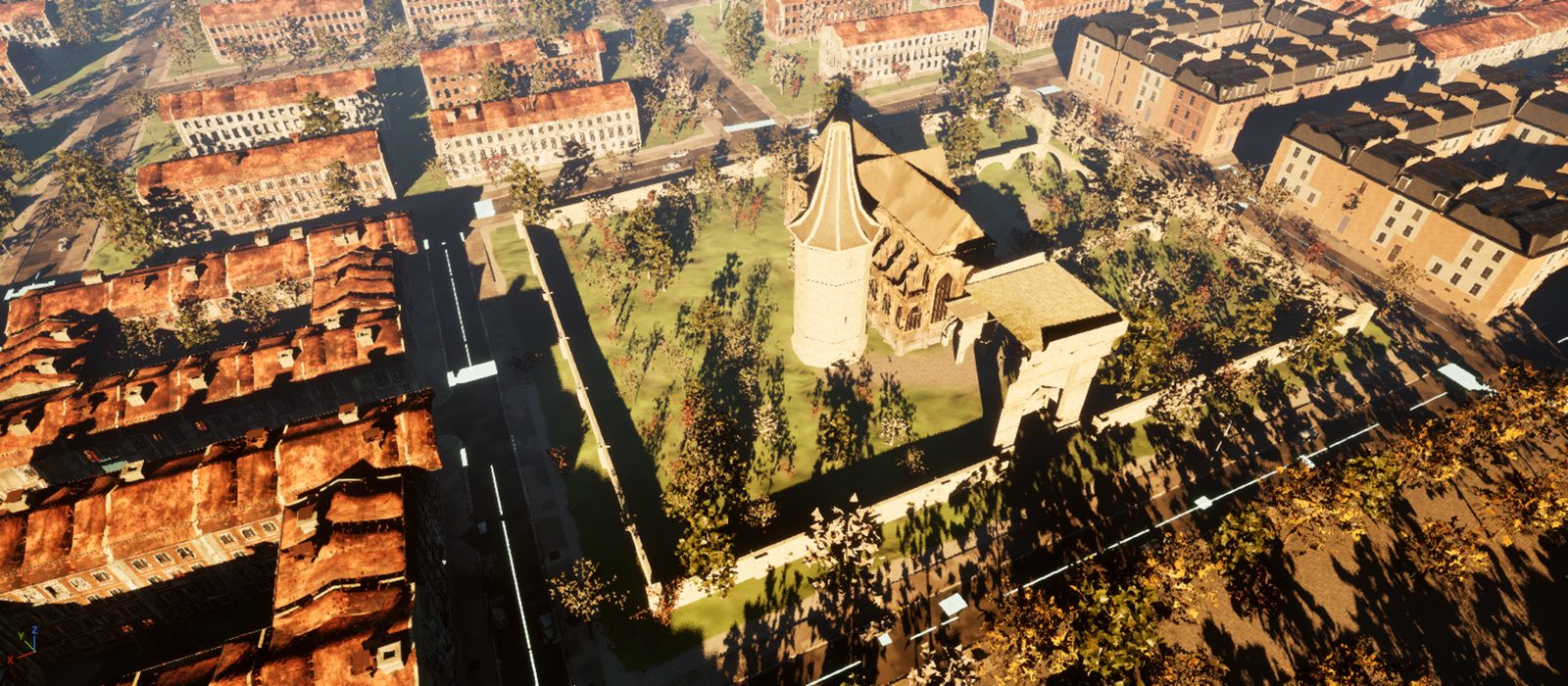
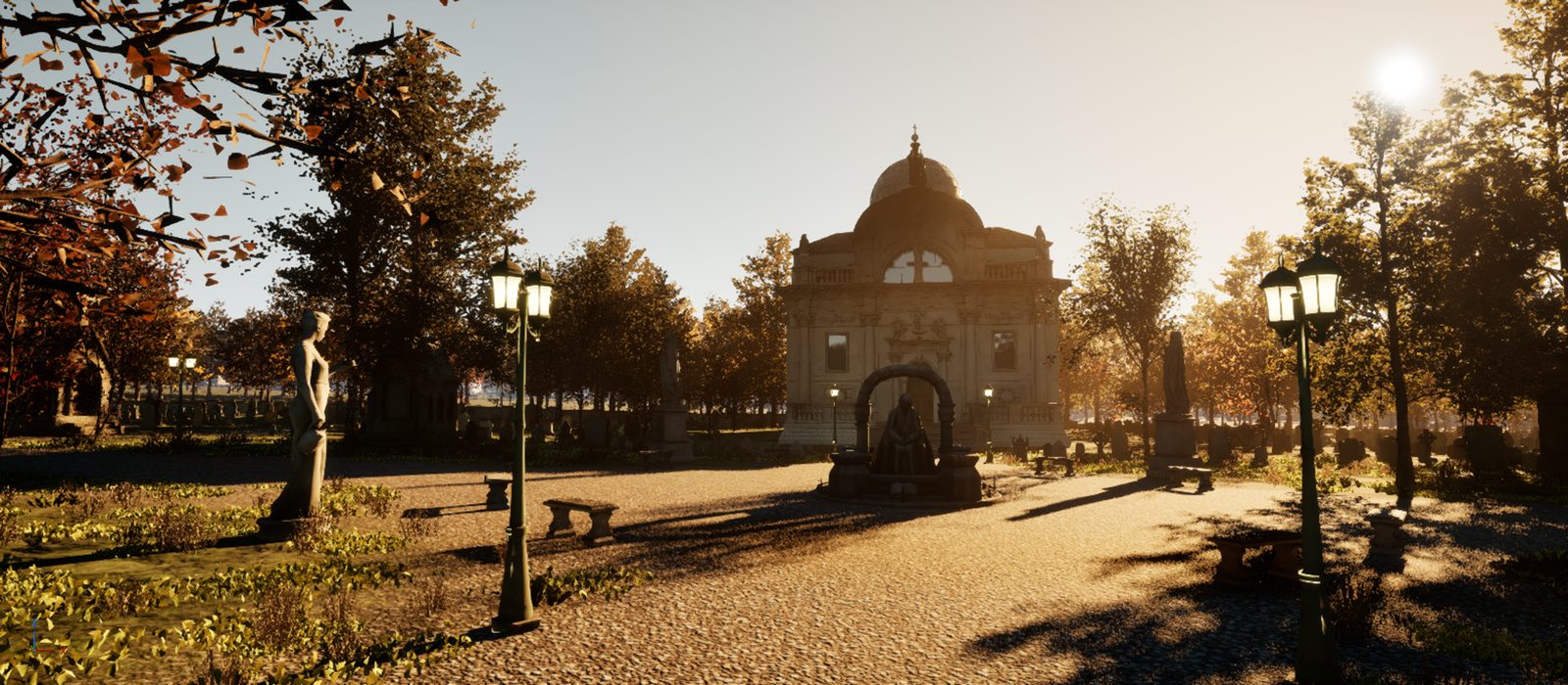
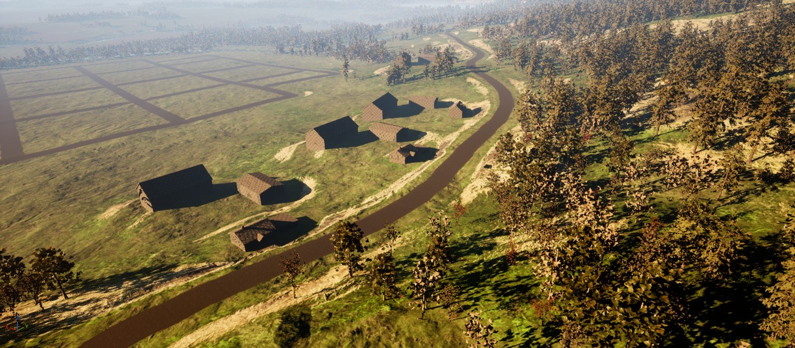
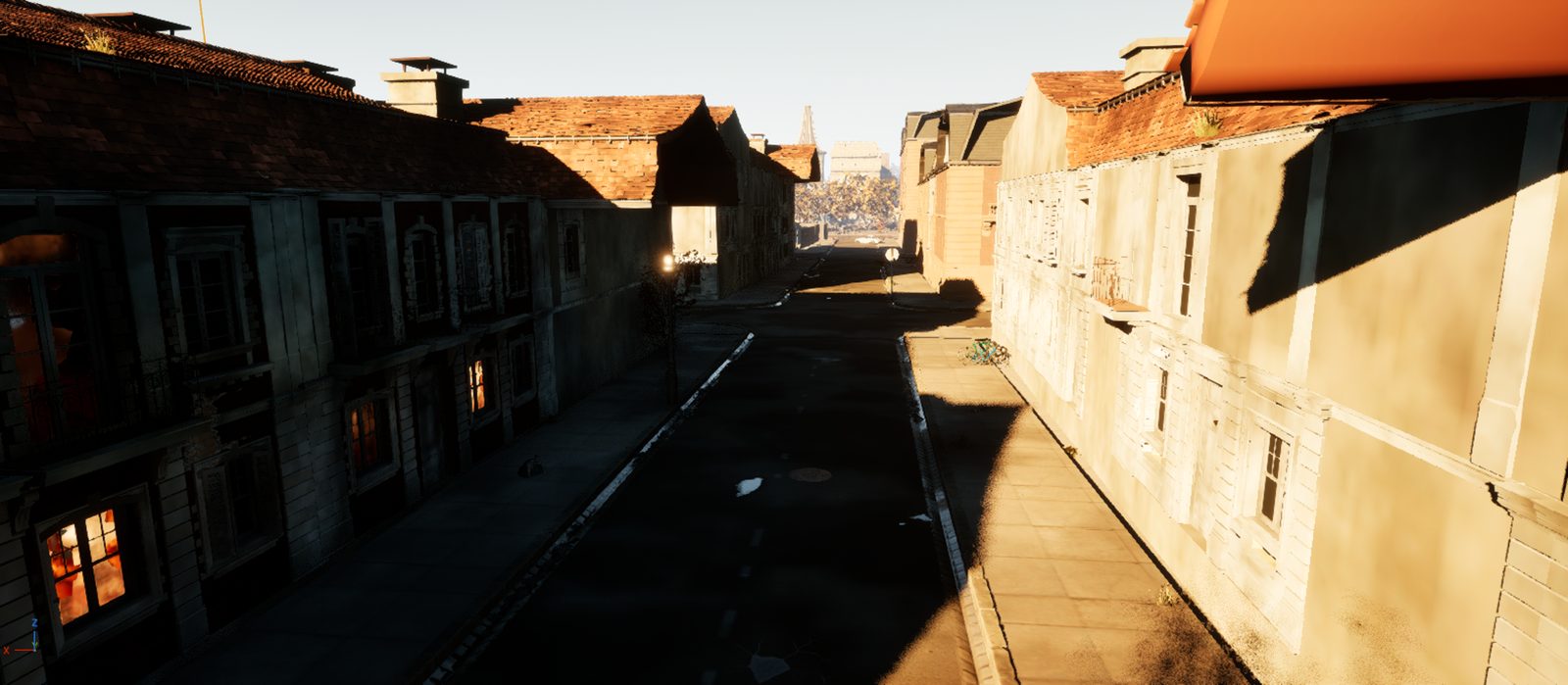
The world starts as a JSON spec: coast, mountains, rivers, towns with their roles, the road network and a bomb crater with its damage field. A Python generator turns it into terrain and plans; Unreal builds the level from those files without anyone placing a single actor by hand.
Write the spec
Regions with threat and loot tiers, settlements, road classes, the catastrophe. Versioned with a changelog.
Generate
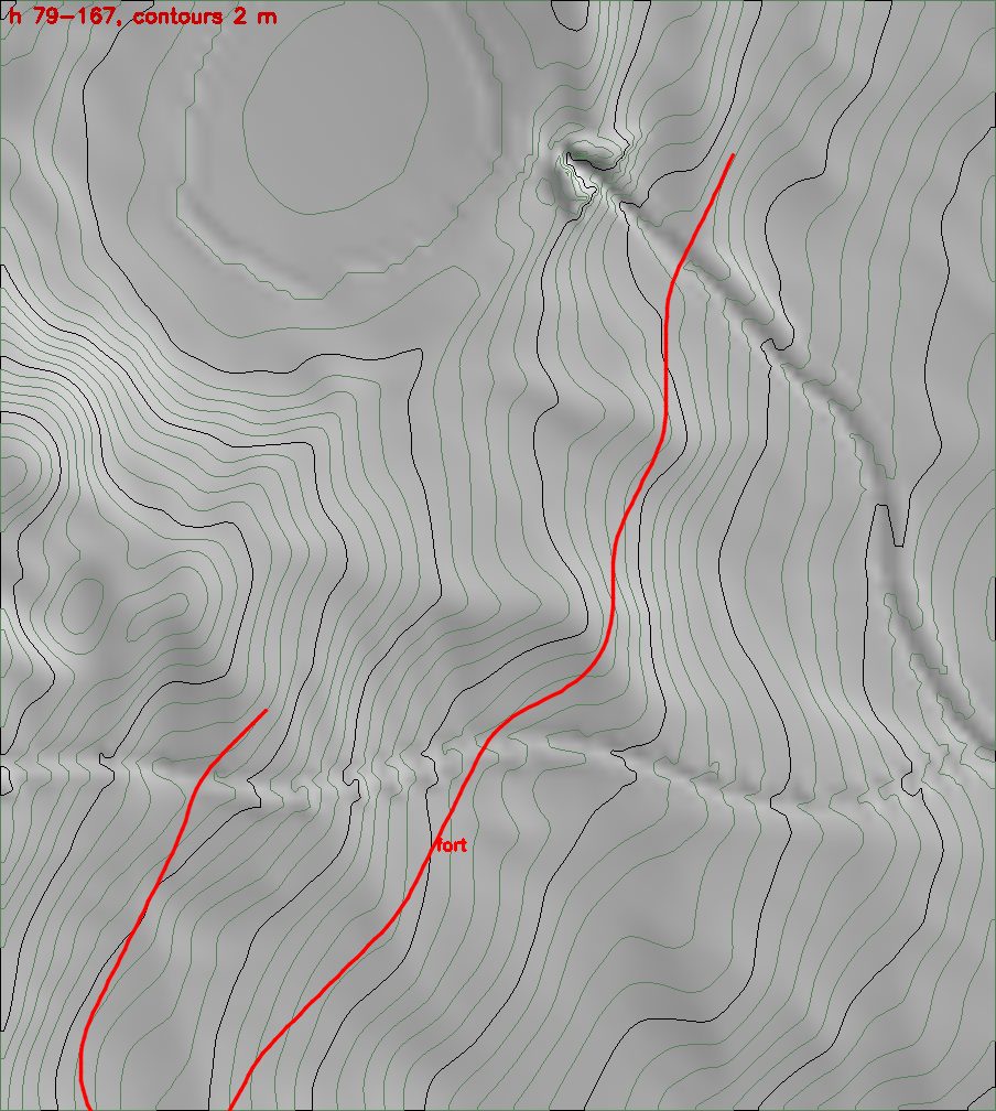
Python and NumPy: terrain, erosion, rivers and lakes, a least-cost road graph, town and village plans, dressing rules. About 8 minutes.
Package
Roads, bridges, building pads, kit parts and water as plain data files, with QA lints for grades, slopes and overlaps.
Build the level
Headless Unreal steps: a C++ landscape importer, water, vegetation, houses, AAA-kit towns, roads, dressing, bridges, navmesh.
Review
Rendered shots driven from Python over the editor's MCP server, audit scripts, then play in the editor.
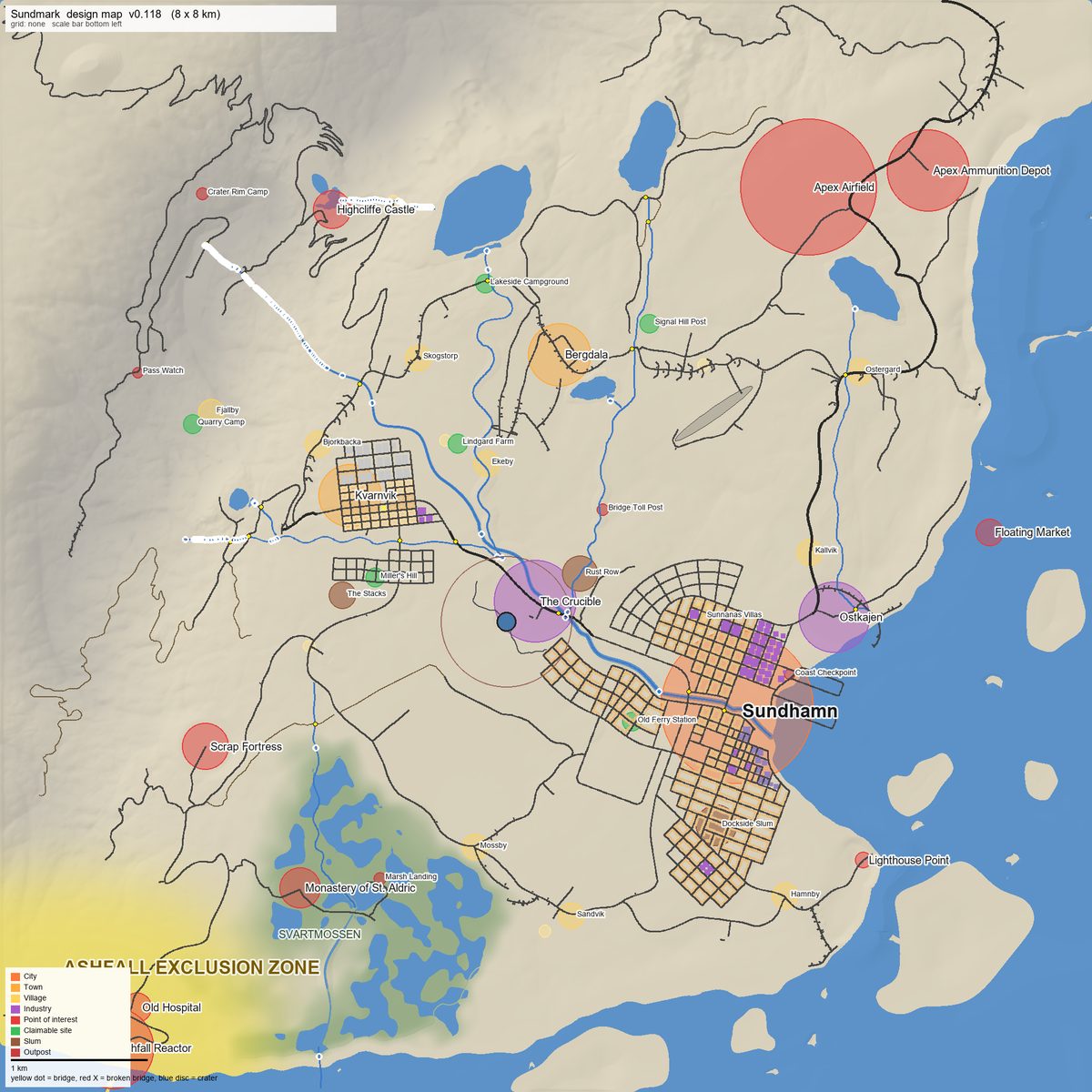
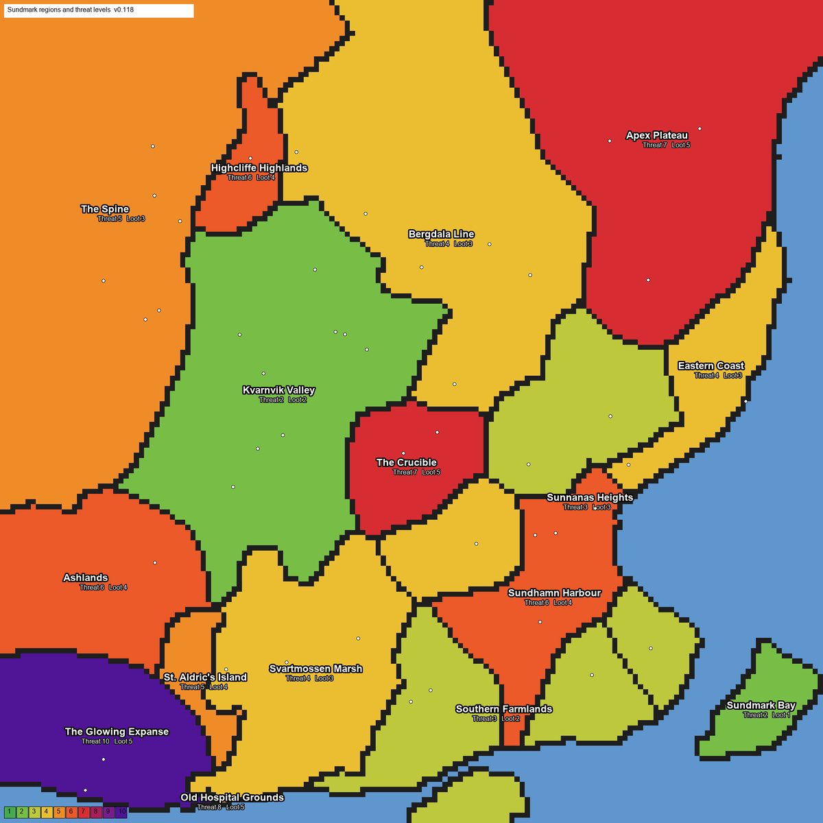
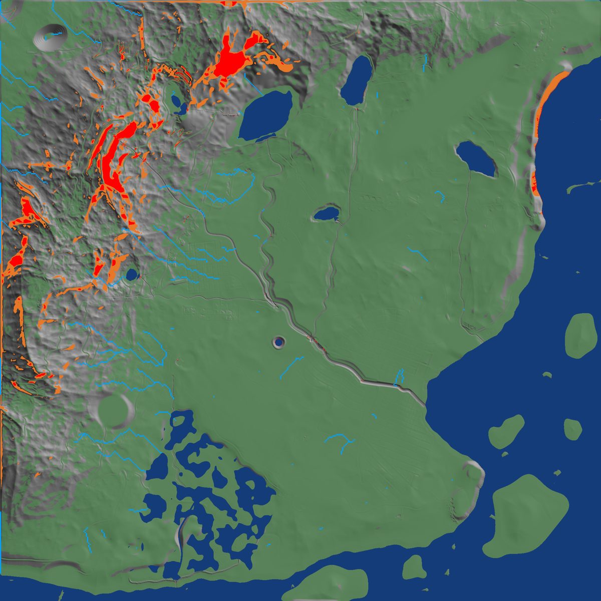
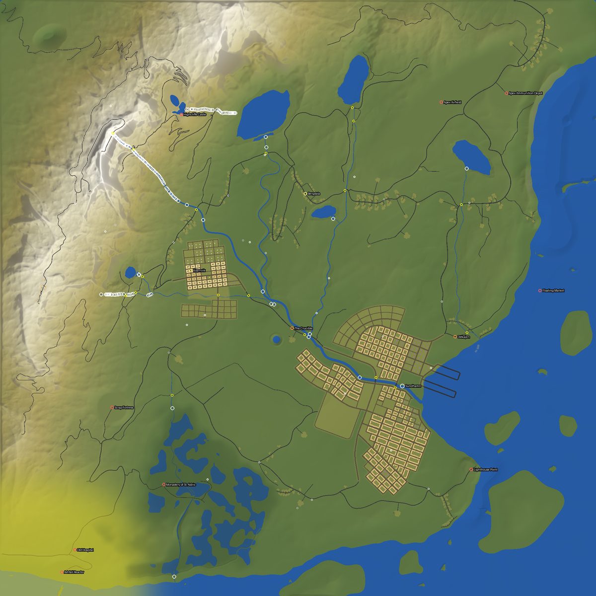
Case study 1, continued
Cutting a playable demo out of the region
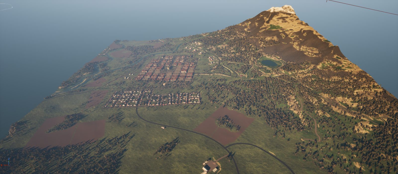
The full region is too heavy to play-test. A crop tool cuts a 2.5 km square around Kvarnvik and the farming village Fjällby out of the same data, keeps every world coordinate, and the same build steps produce a level you can play.
| Measurement | Result | How it was measured |
|---|---|---|
| Level size | 143 MB | against 640 MB for the full region |
| Rebuild time | ~4 min | every step headless, from data to a saved level |
| Frame time | 11.4 ms median | about 88 fps at 1920 × 1080, Lumen on, RTX 4080 SUPER; render thread is the limit at about 3 000 draw calls |
| Map load | 10.6 s | standalone game, CSV profile over 2 400 frames |
| Memory added by the map | ~2.5 GB | against the same run on the small default level |
| Navmesh build | 22 s | 2.5 × 2.5 km, saved with the level |
Debugging story
Why the NPCs could not leave town
The first navmesh looked complete, yet paths from the town square to half of the villages stopped after a few hundred metres. A flood fill over 50 m cells showed a clean diagonal cut through open countryside. Ruling things out one group at a time found the cause: the river surfaces split the navmesh into islands even with their collision off. With water excluded from navigation and real bridges placed on every crossing, all eleven villages connect.
Case study 2
The test facility
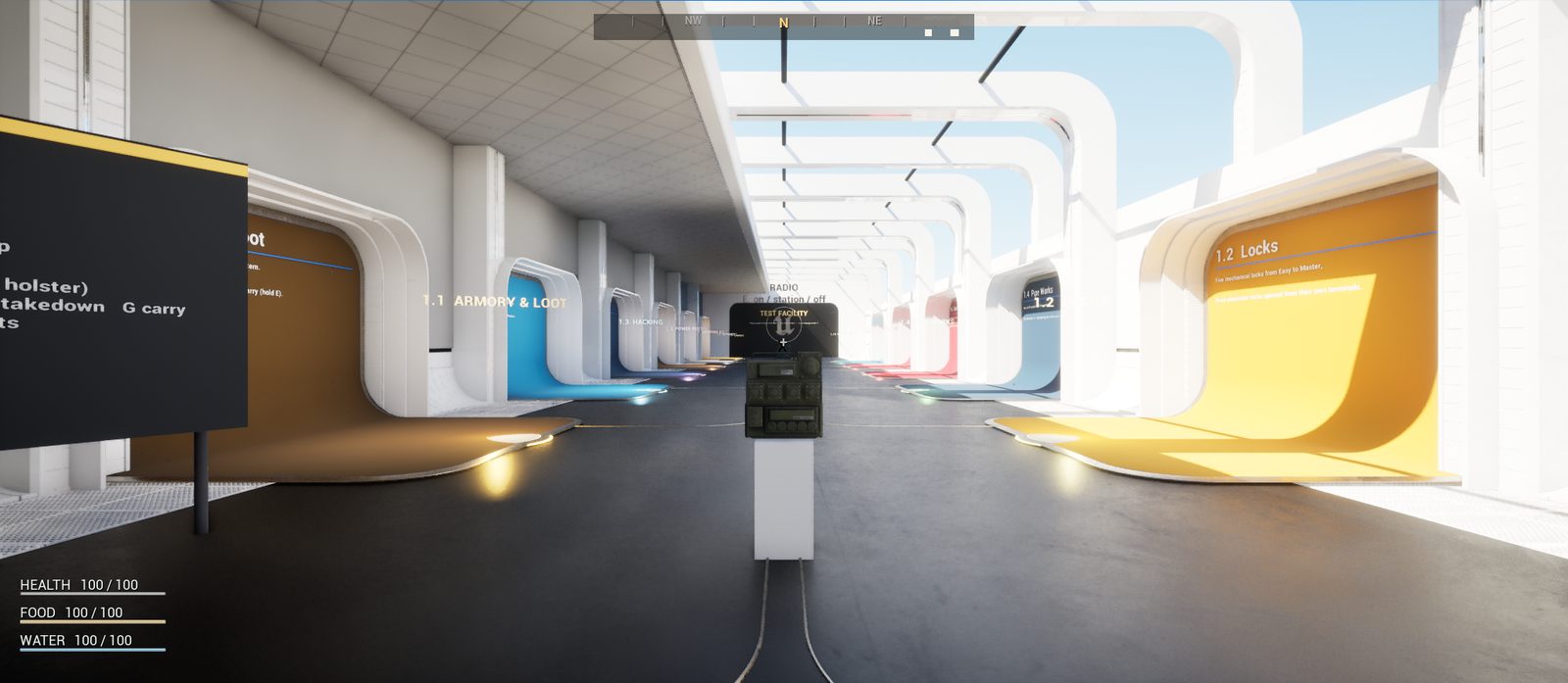
A hub hall with a booth and a teleport pad for each room, so every system of the game can be tried on its own in a minute. The whole level is built by one script, rooms are probed automatically in play, and my own play-tests drove a rebuild of half the rooms.
- 1.1
- Armory & LootEvery pickup, seven containers, physics crates to carry.
- 1.2
- LocksFive lockpicking tiers; electronic doors opened from their terminals.
- 1.3
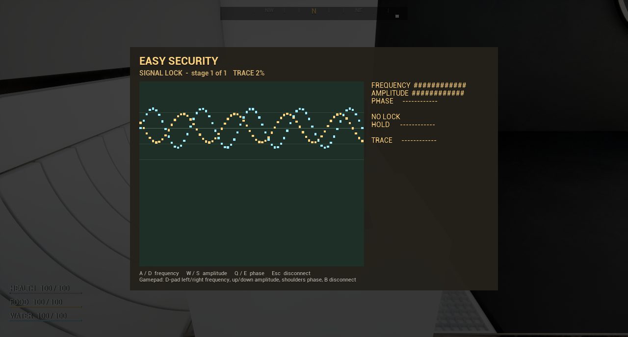
- HackingSignal lock: tune frequency, amplitude and phase to the broadcast.
- 1.4
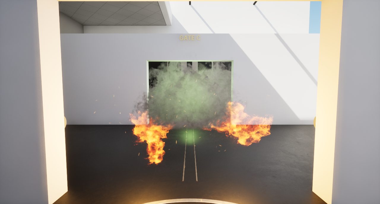
- Pipe WorksGas and fire block three gates; each valve sends a surge.
- 1.5
- Power RestoreFind three fuses and bring a dead vault door back.
- 1.6
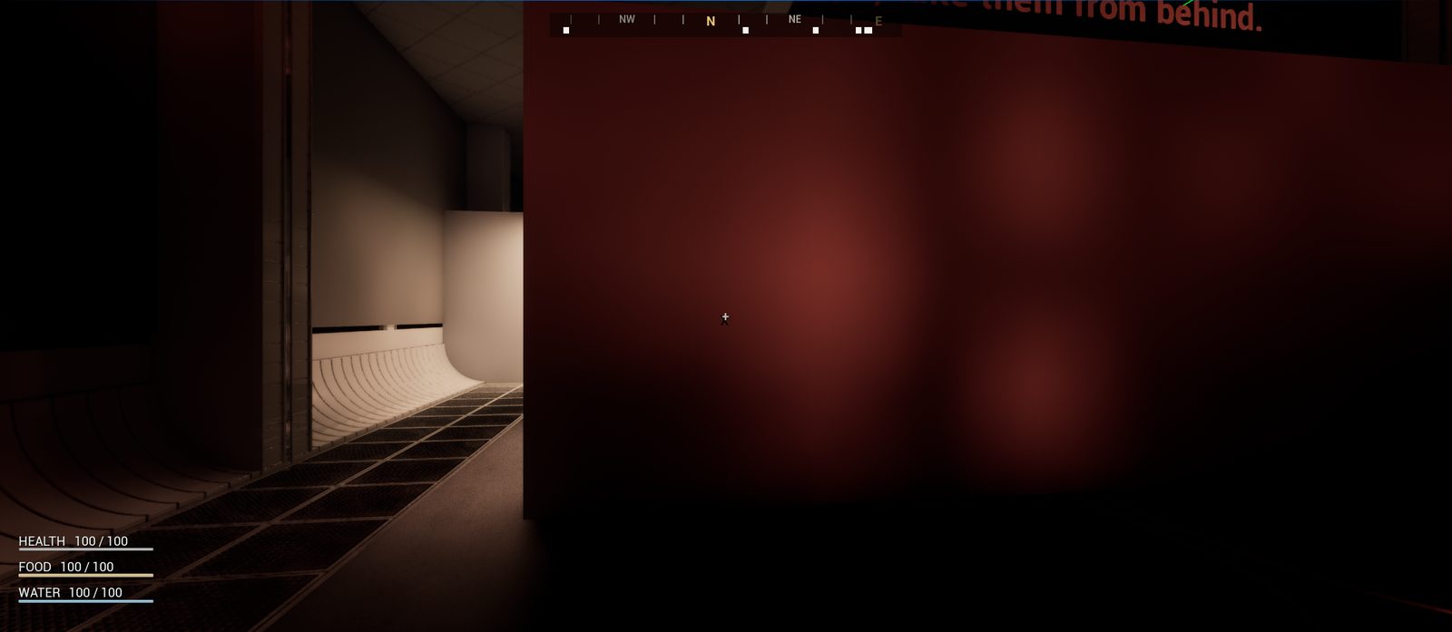
- Dark RoomStealth with a light meter, shoot out lamps, silent takedowns.
- 1.7
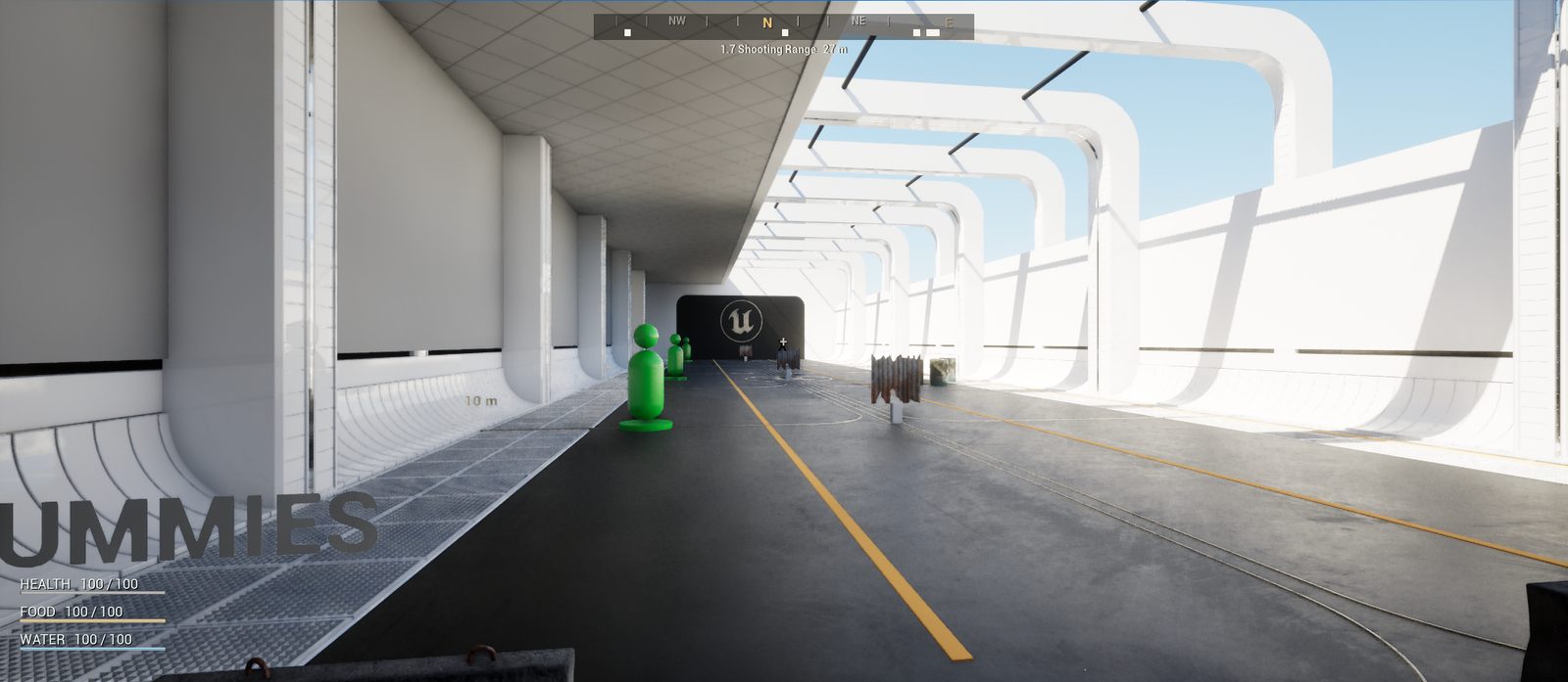
- Shooting RangeDummies, steel plates and barrels at 10, 25 and 50 m.
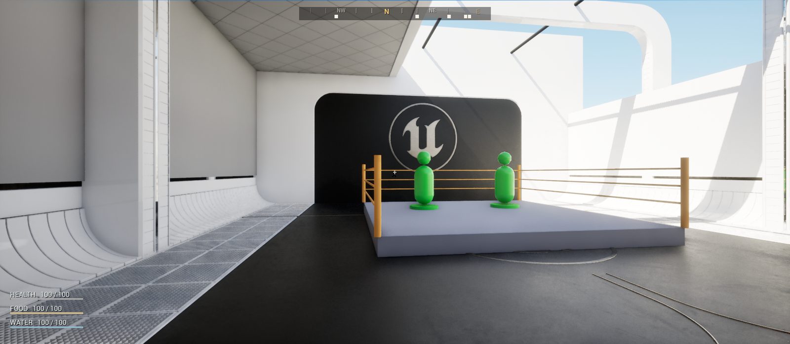
- 1.8
- Melee RingJabs, power punches, weapon bashes and the knife.
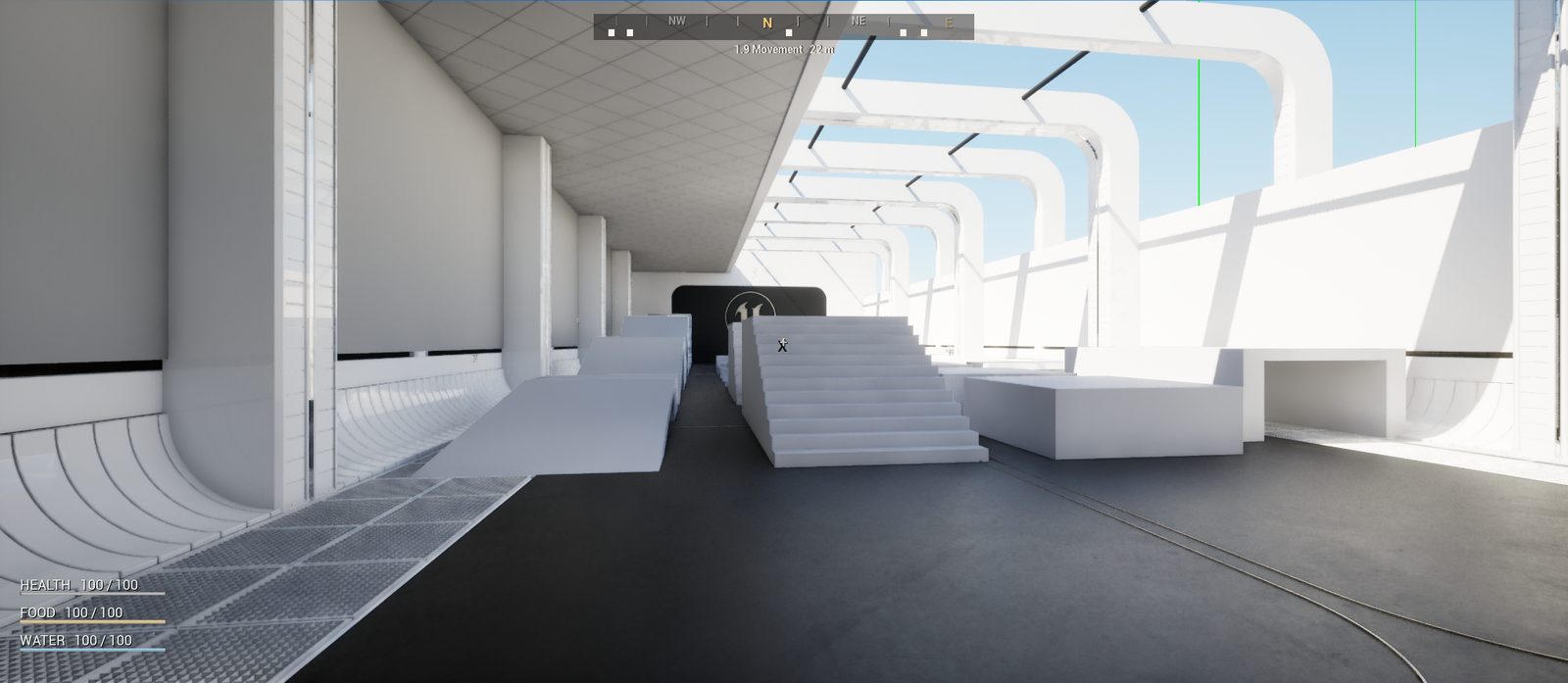
- 1.9
- MovementRamps from 10° to 50°, steps up to 90 cm, gaps, tunnels.
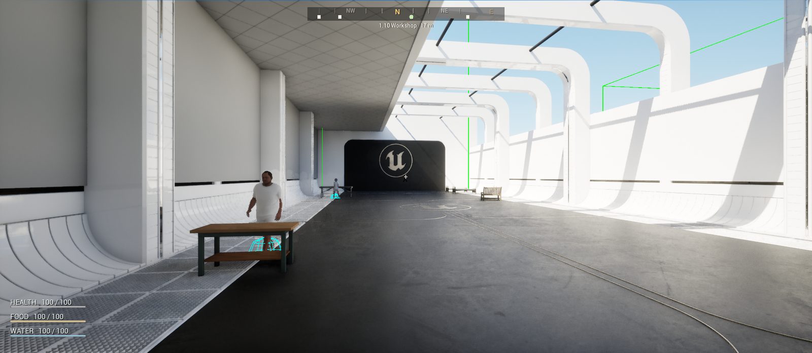
- 1.10
- WorkshopBuild mode in your own settlement; settlers use what you place.
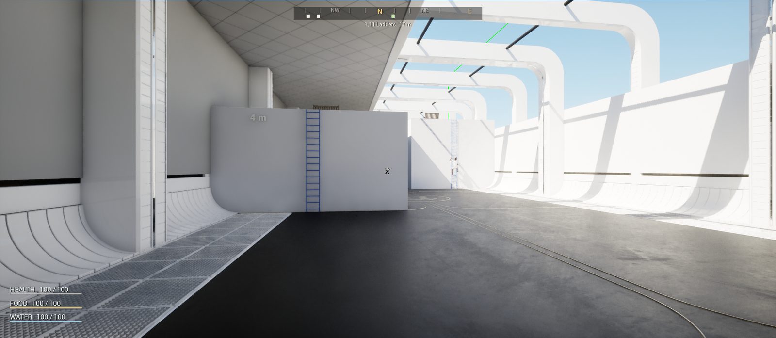
- 1.11
- LaddersPlatforms reached only by ladder; the NPC climbs them too.
Under the hood
Tools and techniques
World pipeline
- Python, NumPy, SciPy and OpenCV for terrain, hydrology, road graphs and town plans
- A C++ editor library for landscape import, instancing and spline meshes
- Headless Unreal commandlets chained by a build script, each step checked by its report
- Rendered review and editor control over Unreal's MCP server
- Navmesh probes: flood fill, navmesh raycasts and path checks from Python
Gameplay in the test facility
- C++ systems: teleport pads, pipe hazards and valves, fuse box, terminals and linked doors, lockpicking and signal-lock screens, puzzles
- A 942-line Python builder for the whole level
- Automated in-game probes per room and Unreal automation tests for locks and hacking
- NPCs that climb ladders, use furniture and react to light
Status, October 2026
Where it stands
Working
- The full region and the demo level build from data, end to end
- The demo level loads, plays in the editor and has a connected navmesh
- All eleven test rooms, probed in play
Next
- Roads as game road actors, so patrols, traders and vehicles travel between towns
- Enterable buildings, starting with the monastery church
- Neutral Nordic daylight and conifer forests; the current light is too golden
- A long play-through of the demo at player height